
WeatherNext Claims a Day More Warning for Cyclones
A better model can give forecasters more useful possibilities sooner. It cannot turn a probabilistic track into certainty, and it should never become a private substitute for an official evacuation or storm warning.
Sources: Google DeepMind WeatherNext Cyclones announcement, Nature paper on operational tropical cyclone forecasting with AI, Google DeepMind WeatherNext code and model repository, National Hurricane Center official forecast portal.
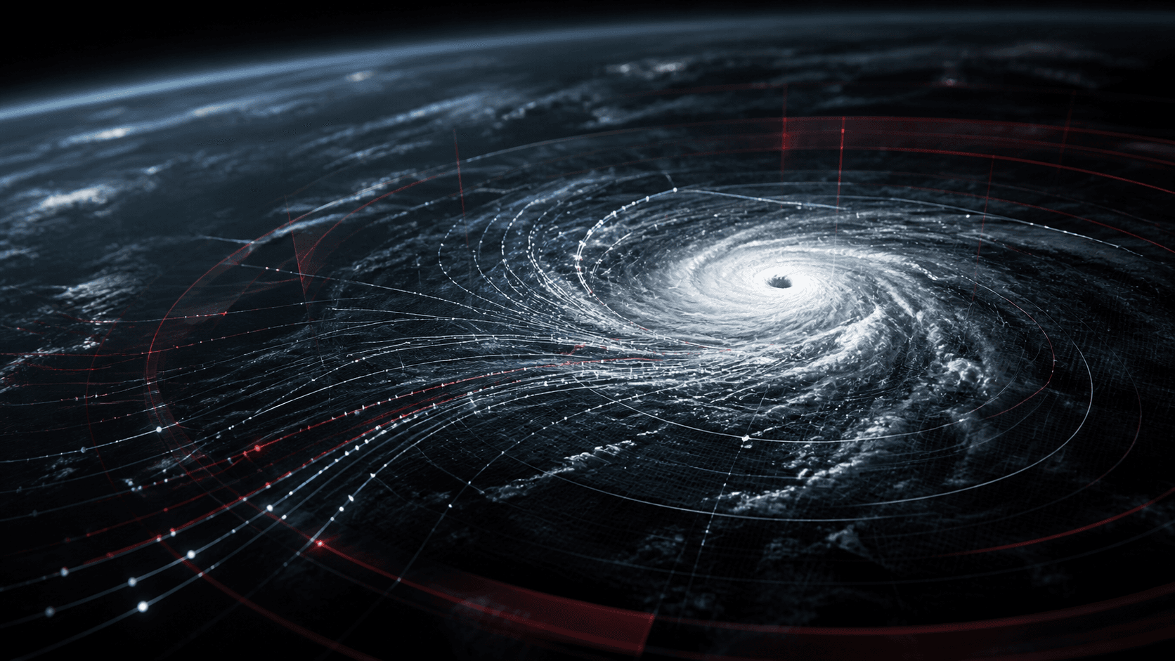
Google DeepMind and Google Research published WeatherNext Cyclones in Nature on August 6 and released code and model weights for research and forecasting. The system produces global predictions for a cyclone’s track, intensity, and wind structure as far as 15 days ahead. It can generate ensembles of up to 1,000 possible scenarios rather than presenting one deterministic path.
The peer-reviewed paper reports that, across tropical cyclones from 2023 through 2025, the model provided an average lead-time advantage of at least one day over leading operational models for track, intensity, and wind radii. In practical terms, the authors say its three-day predictions can match the accuracy that comparison systems previously achieved at two days.
The advance is a benchmark result, not one extra day for every storm
An average lead-time advantage summarizes many historical forecasts. It does not guarantee that every cyclone will be predicted correctly one day sooner. Track, intensity, size, rapid intensification, land interaction, and local hazards remain different forecasting problems, and performance can vary by basin and storm structure.
The evaluation is unusually relevant because the model was used to provide experimental guidance during the 2025 hurricane season and the paper includes collaborators from the U.S. National Hurricane Center, the Cooperative Institute for Research in the Atmosphere, and the UK Met Office. Even so, retrospective evaluation benefits from a fixed historical record. Performance during new atmospheric regimes and rare failure cases must continue to be measured in real time.
The model also uses coarser atmospheric inputs than many conventional high-resolution systems. The authors argue that its joint training on global weather dynamics and expert-curated cyclone records extracts more intensity information from those inputs than expected. They explicitly call the result scientifically surprising, which is a reason for further investigation rather than a reason to assume resolution no longer matters.
One thousand scenarios make uncertainty more visible
Cyclone forecasts are not a single line. Small changes in steering currents, ocean heat, moisture, and storm structure can produce materially different outcomes. WeatherNext uses Functional Generative Networks to generate a large ensemble efficiently, letting forecasters estimate the probability of different tracks and wind outcomes—including low-probability, high-impact cases.
Google says a 15-day forecast can run in less than a minute on a TPU. That speed makes 1,000-member ensembles practical and can help agencies compare tails of the distribution instead of relying on a much smaller set of simulations. More members do not automatically mean a calibrated probability, however. Forecast centers still need to test whether a stated 10 percent or 50 percent risk occurs at the expected frequency across regions and conditions.
The best use is therefore additive. The Nature paper reports that including WeatherNext Cyclones in a weighted consensus ensemble improves skill. Human forecasters can compare its guidance with physics-based models, observations, local expertise, and established operational procedures. Disagreement among systems is itself useful information when communicated honestly.
Open weights widen scrutiny and access
The release includes WeatherNext Cyclones, WeatherNext 2, and a smaller WeatherNext 2-mini that Google says can run on a single TPU in a public Colab notebook. Open code and weights allow meteorological agencies and researchers to reproduce evaluations, test regional behavior, study failure modes, and develop localized tools without depending only on a hosted demonstration.
Access does not erase infrastructure gaps. Operational forecasting also requires timely observations, resilient communications, local hazard models, trained staff, and a trusted warning system that reaches people in the language and channel they use. A technically strong forecast has limited public value if communities cannot act on it.
For the public, the safety boundary is simple: experimental AI maps are not official warnings. Google’s own release directs people to local meteorological agencies, and U.S. hurricane watches and warnings come from the National Hurricane Center and National Weather Service. WeatherNext’s importance is that it may improve the evidence behind those expert decisions—while open release lets the weather community test whether the claimed advantage holds up storm by storm.
Quick questions
Does WeatherNext predict every cyclone one day earlier?
No. The paper reports an average lead-time advantage across historical storms from 2023 through 2025. Individual storms and forecast variables can perform differently.
Is WeatherNext replacing the National Hurricane Center?
No. It provides experimental model guidance. Official watches, warnings, evacuation information, and local forecasts still come from authorized meteorological and emergency agencies.
Is WeatherNext open source?
Google DeepMind released code and model weights for WeatherNext Cyclones, WeatherNext 2, and a smaller WeatherNext 2-mini through its public repository.